virtualtour
-
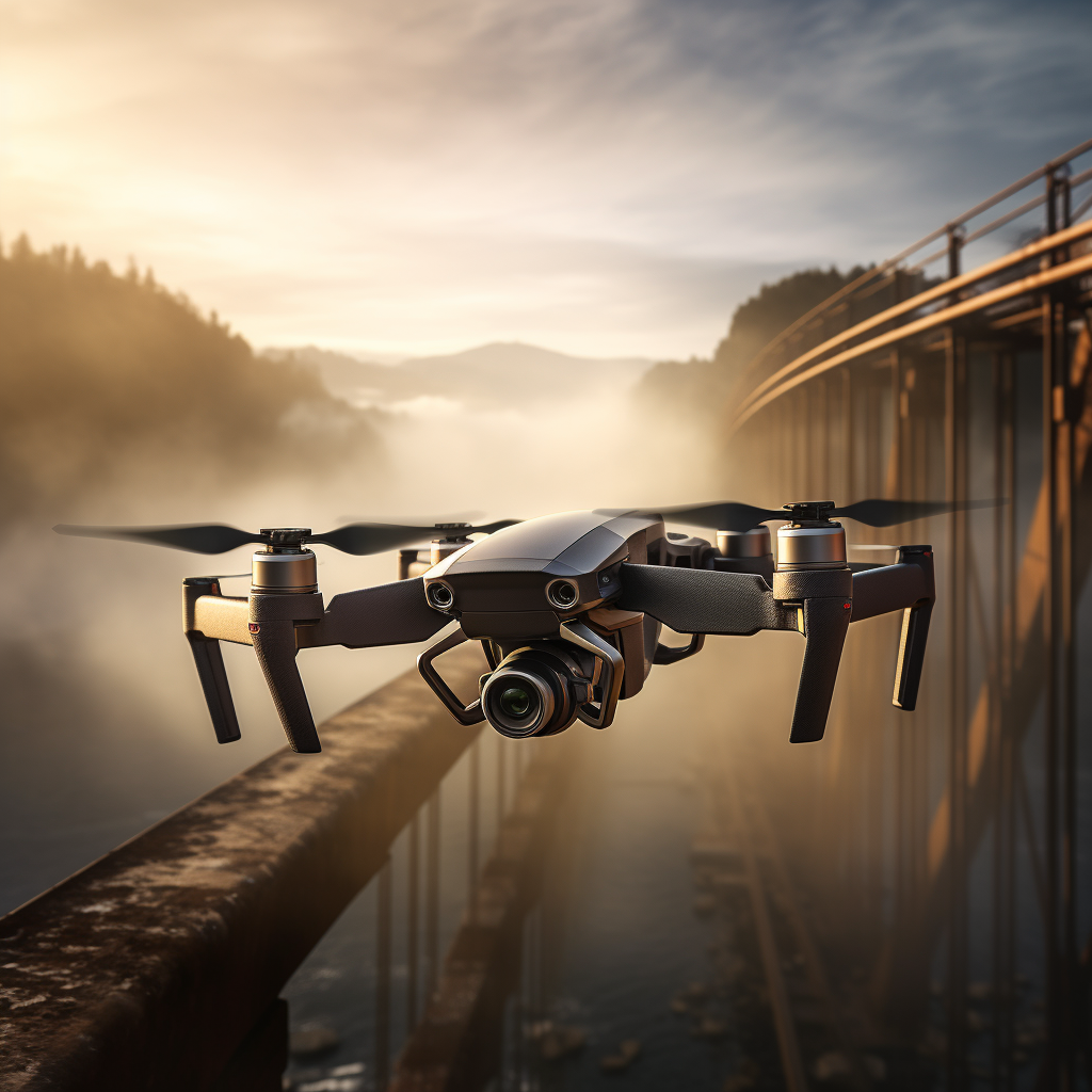
High-Resolution Aerial Imagery for Detailed Site Analysis
Read more: High-Resolution Aerial Imagery for Detailed Site AnalysisHigh-Resolution Aerial Imagery for Detailed Site Analysis Aerial imagery is a cost effective way to collect data, by capturing high-resolution aerial imagery we can create detailed two-dimensional maps and interactive three-dimensional models. This gives you the ability to fully understand the details and constraints of your site, all without having to step foot on it.…
-

360° Cameras Capture the Complete Picture of a Site in a Single Visit
Read more: 360° Cameras Capture the Complete Picture of a Site in a Single VisitWe can create a virtual walkthrough of sites and building using our high resolution 360° cameras. This data can then allow all stakeholders to gain remote access to the completed works. Being able to capture the complete picture of a site within a single visit means that you and your teams can avoid lengthy and…
-
Using High-Resolution 360-Degree Cameras to Capture Street View
Read more: Using High-Resolution 360-Degree Cameras to Capture Street ViewGoogle is reducing the amount of capture that they are dedicating to Street View, meaning new developments or refurbished areas may not be captured again for long periods of time or at all. They also removed their dedicated app on all platforms, making it harder to successfully upload images to Street View. At Arrayen we…
Latest news
- Inspections Made Easy
- You Record, We Process
- Data capture in the remote Quilpie Shire Council with drones and 360-degree cameras
- Drone Inspection: A Safe and Efficient Way to Collect Asset Data
- Aerial Drone Photography
Categories
- 360degreevideo (6)
- aerialimagery (3)
- asset management (3)
- datavisualization (1)
- droneinspection (2)
- drones (4)
- efficiency (2)
- gis (1)
- googlestreetview (1)
- road network capture (3)
- roadsafety (2)
- siteplans (1)
- videodata (2)
- virtualtour (3)
- workplacesafety (2)