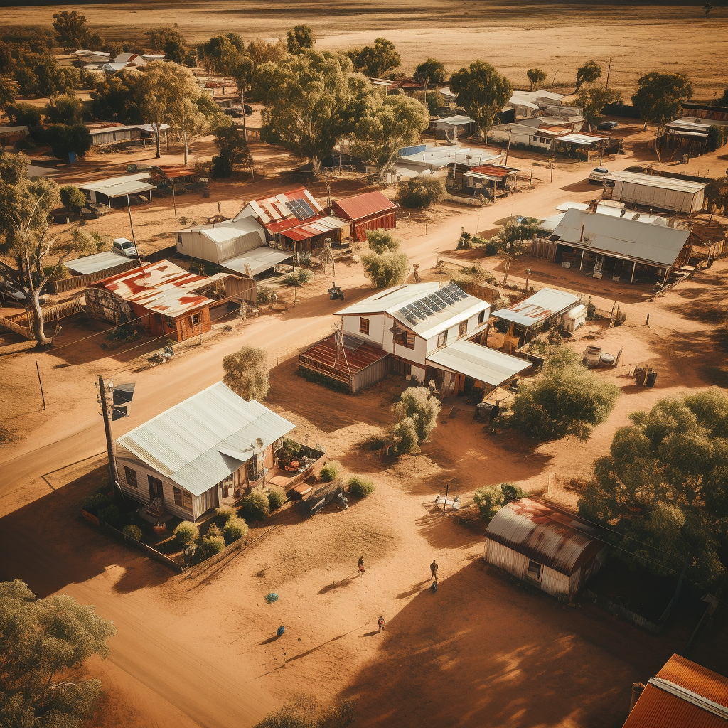
We recently completed a data capture project for the Quilpie Shire Council (QSC), a remote council in outback Queensland.
Quilpie is a very tight-knit community, that is an 11-hour drive west of Brisbane. There are 5 major towns in the shire, including Eromanga, the town famous for being the furthest from any coastline in Australia.
Arrayen has a genuine commitment to go anywhere for our clients and use our technology to provide access to high-quality data, to help remote communities like Quilpie improve planning, decision-making and better manage its infrastructure.
This project involved using drones to capture aerial imagery to be used in GIS applications for planning and maintenance and aerial photography that will be used to update the current library of images.
We also used our high-resolution vehicle based 360-degree cameras to collect data on the on the council’s road network, this data will be used to gain insights on the current condition of the network and we will use this data to update Google Streetview images that were last captured in 2008.
We are grateful to Quilpie Shire Council for engaging us on this project and to the entire community of the Quilpie Shire Council for their warm welcome during our time in your towns.
If you are in a remote community and need help to collect valuable data, please do not hesitate to reach out to us today.