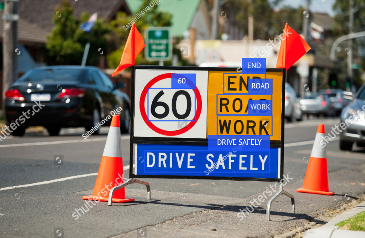
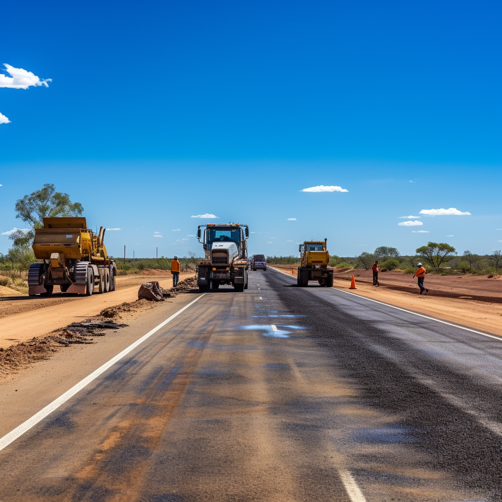
road network capture
-
You Record, We Process
Read more: You Record, We ProcessUse GoPro cameras to capture entire road networks and utilise your current workforce, then let use process your data. Our in house developed software segments images from video captured at normal traffic speeds. Outputs from our software can then be integrated into any GIS applications – meaning no extra cost to access data. If you…
-

Improve Your Team’s Ability to Deliver Work by Gathering Up-to-Date Video Data
Read more: Improve Your Team’s Ability to Deliver Work by Gathering Up-to-Date Video DataVideo data is a powerful tool that can be used to improve team productivity and efficiency. By gathering up-to-date video data, teams can automatically analyse it to detect almost any object or situation. This data can be easily collected and constantly updated, providing teams with a real-time view of their work environment. Benefits of using…
-

Road Asset Capture
Read more: Road Asset CaptureWe have developed video capture software that allows for road assets to be captured using a GoPro camera. Our software is able to identify the road that has been captured and create files with all of the required information already included, saving teams countless hours of renaming files and setting up folders. We are able…
Latest news
- Inspections Made Easy
- You Record, We Process
- Data capture in the remote Quilpie Shire Council with drones and 360-degree cameras
- Drone Inspection: A Safe and Efficient Way to Collect Asset Data
- Aerial Drone Photography
Categories
- 360degreevideo (6)
- aerialimagery (3)
- asset management (3)
- datavisualization (1)
- droneinspection (2)
- drones (4)
- efficiency (2)
- gis (1)
- googlestreetview (1)
- road network capture (3)
- roadsafety (2)
- siteplans (1)
- videodata (2)
- virtualtour (3)
- workplacesafety (2)
