droneinspection
-

High-Resolution Aerial Imagery for Detailed Site Analysis
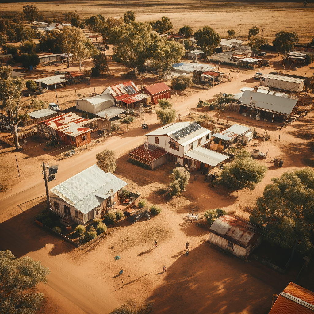
Read more: High-Resolution Aerial Imagery for Detailed Site AnalysisHigh-Resolution Aerial Imagery for Detailed Site Analysis Aerial imagery is a cost effective way to collect data, by capturing high-resolution aerial imagery we can create detailed two-dimensional maps and interactive three-dimensional models. This gives you the ability to fully understand the details and constraints of your site, all without having to step foot on it.…
-

360-Degree Drone Inspection
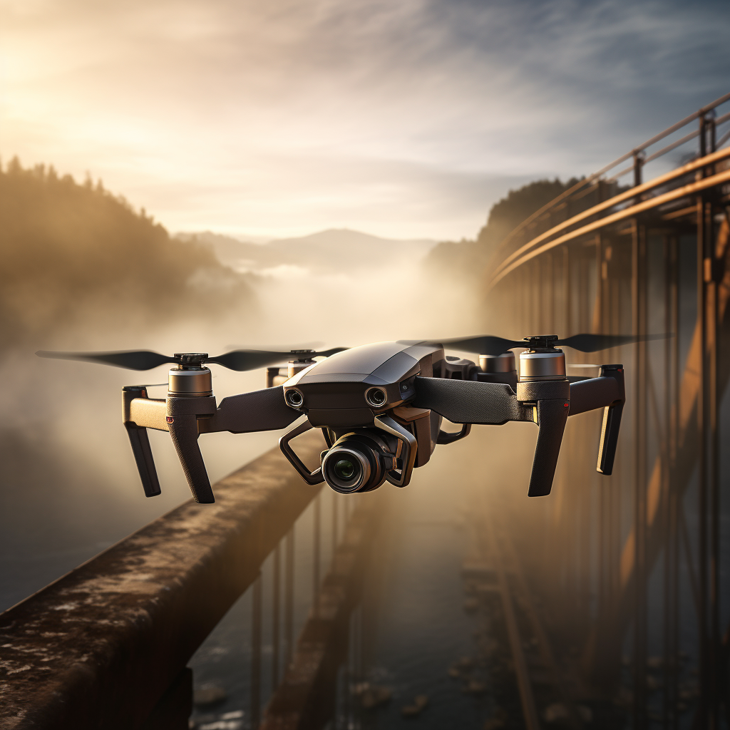
Read more: 360-Degree Drone InspectionWe recently captured high-resolution images and videos of the iconic Indooroopilly Bridge with our 360-degree drone camera, providing a unique perspective of the bridge’s underside. Our approach to bridge inspection offers notable advantages. By leveraging our drone technology, we can conduct thorough examinations without disrupting the flow of road vehicles, trains, or pedestrians. This saves…
Latest news
- Inspections Made Easy
- You Record, We Process
- Data capture in the remote Quilpie Shire Council with drones and 360-degree cameras
- Drone Inspection: A Safe and Efficient Way to Collect Asset Data
- Aerial Drone Photography
Categories
- 360degreevideo (6)
- aerialimagery (3)
- asset management (3)
- datavisualization (1)
- droneinspection (2)
- drones (4)
- efficiency (2)
- gis (1)
- googlestreetview (1)
- road network capture (3)
- roadsafety (2)
- siteplans (1)
- videodata (2)
- virtualtour (3)
- workplacesafety (2)
