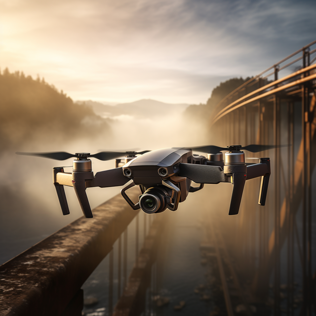
High-Resolution Aerial Imagery for Detailed Site Analysis
Aerial imagery is a cost effective way to collect data, by capturing high-resolution aerial imagery we can create detailed two-dimensional maps and interactive three-dimensional models. This gives you the ability to fully understand the details and constraints of your site, all without having to step foot on it.
Our aerial imagery can be used for a variety of purposes, including:
– Site planning and development
– Construction and engineering
– Environmental monitoring
– Disaster response
We can help you choose the right aerial imagery solution for your needs. We offer a variety of services, including:
– Image capture
– Image processing
– Data analysis
– Model creation