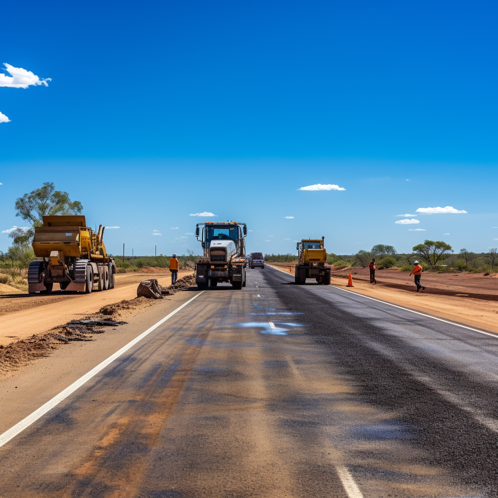
We have developed video capture software that allows for road assets to be captured using a GoPro camera. Our software is able to identify the road that has been captured and create files with all of the required information already included, saving teams countless hours of renaming files and setting up folders.
We are able to turn the captured videos into a series of GPS tagged images at set chainage points along the road, with the relevant metadata from the files printed onto the images. These created images can then be analysed by our AI Models to detect and identify different objects and situations within the captured image, things like road damage, signs and cattle grids.
All of this information can then be taken and easily mapped within your existing GIS system, meaning there is no need to use or pay for any additional software.
Unlike more traditional road image capture services, our system has some very distinct advantages:
• There is no need to use specialised cameras or vehicles, all of the required data can be captured using a GoPro.
• Data can be collected at normal traffic speeds, making the process a lot safer and quicker.
• Our approach means your team can easily capture the data, however if you do need some help, we also offer a data capture service as well.
• There is no special software requirements to access and view your data, we give you all the files you need to integrate the data into your existing systems.
If you’re interested to learn more about our Road Asset Capture software, please reach out to us.