By incorporating 360 mapping into our data collection we are able to capture a complete visual record with just a single pass. Making it an ideal addition to our ML framework for Road Condition Assessment.
We are also able to take this collected data and directly update Google Street View. While Street View can be a quick and effective tool for many situations, the problem is the photos are often several years old and can present an outdated view. By doing this we are able to give everyone access to up-to-date images.
Use Cases
- Update Google Street View – Arrayen can take high quality 360° images to update Google Street View to display any updated construction or roads
- Pre-Construction, Progress and Project, Closeout Inspections – Site inspections are critical to ensuring that quality work is delivered, when we capture high quality 360 mapping images and video we ensure preserve the site integrity before, during and after construction
Latest Blogs For 360° Mobile Mapping
- Inspections Made EasyOur drone base inspection solutions, results in an immersive 360-dregree experience, that can be shared amongst team to gain views of hard to access or high risk areas, without disruption to traffic, whilst drastically increasing… Read more: Inspections Made Easy
- Data capture in the remote Quilpie Shire Council with drones and 360-degree cameras
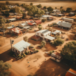 We recently completed a data capture project for the Quilpie Shire Council (QSC), a remote council in outback Queensland. Quilpie is a very tight-knit community, that is an 11-hour drive west of Brisbane. There are 5 major… Read more: Data capture in the remote Quilpie Shire Council with drones and 360-degree cameras
 - 360° Cameras Capture the Complete Picture of a Site in a Single Visit
 We can create a virtual walkthrough of sites and building using our high resolution 360° cameras. This data can then allow all stakeholders to gain remote access to the completed works. Being able to capture… Read more: 360° Cameras Capture the Complete Picture of a Site in a Single Visit
 - 360-Degree Drone InspectionWe recently captured high-resolution images and videos of the iconic Indooroopilly Bridge with our 360-degree drone camera, providing a unique perspective of the bridge’s underside. Our approach to bridge inspection offers notable advantages. By leveraging… Read more: 360-Degree Drone Inspection
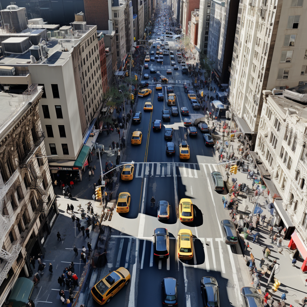
- Using High-Resolution 360-Degree Cameras to Capture Street View
 Google is reducing the amount of capture that they are dedicating to Street View, meaning new developments or refurbished areas may not be captured again for long periods of time or at all. They also… Read more: Using High-Resolution 360-Degree Cameras to Capture Street View